
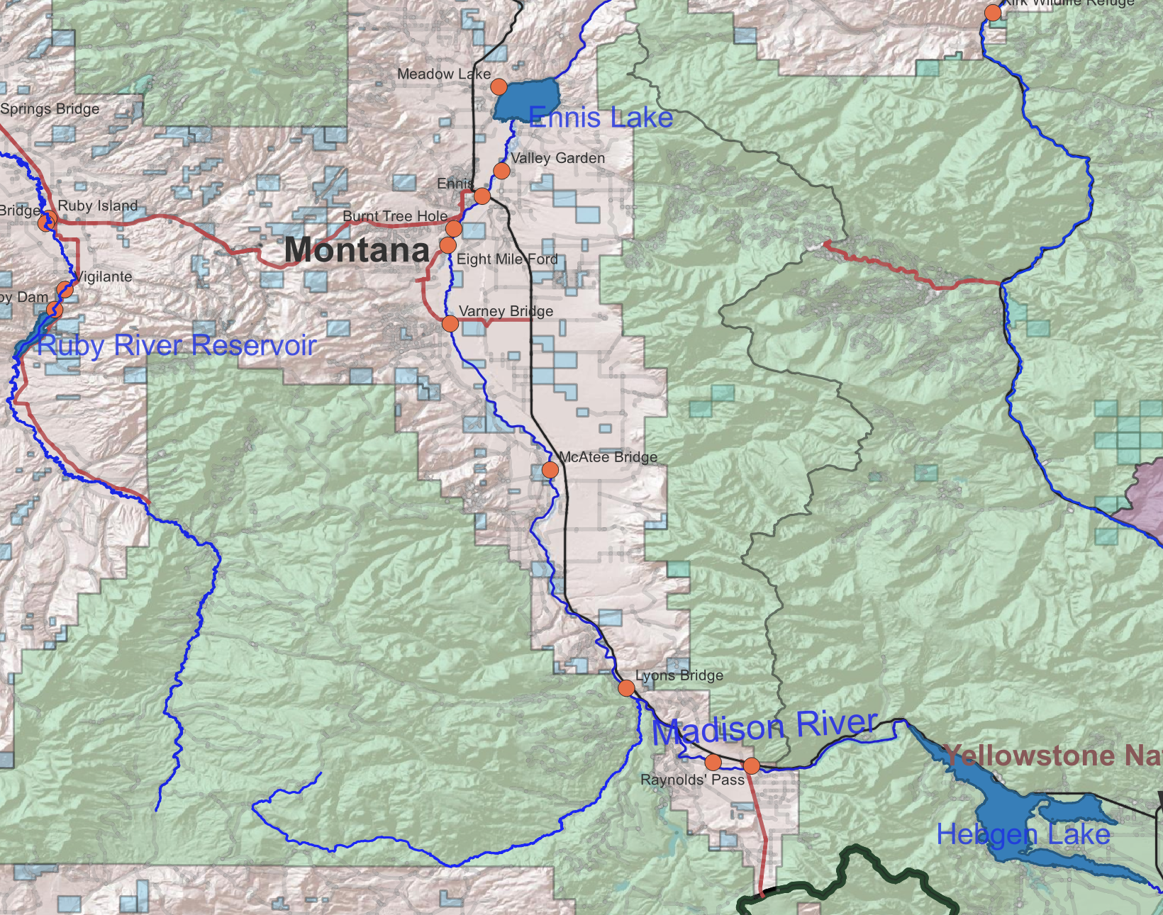
This map shows the Madison River in southwestern Montana. Fishing access sites are represented with orange circles. Other public land (more potential fishing access) is shaded blue (for state managed parcels) and green (for US Forest Service managed land).

Let me know in the comments if you want a georeferenced pdf version. I’ll post one if there is some interest.